FireGuard
Intel analysts use satellite data to detect wildfires early
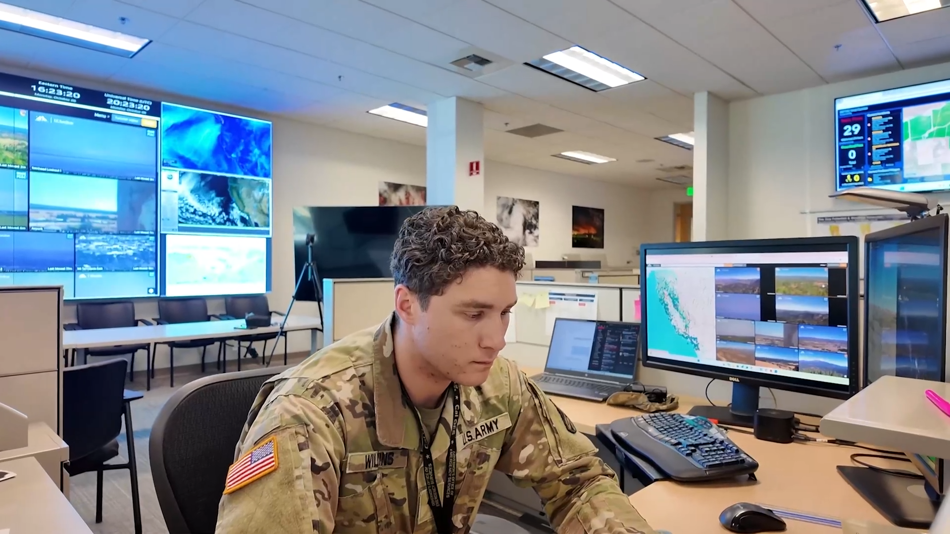

Sgt. 1st Class Landis Rush explains how intel analyst Soldiers and Airmen analyze satellite imagery to detect wildfires early. FireGuard uses a combination of satellite and drone imagery to provide real-time updates on fire activity to firefighting professionals. (Video by David Loeffler)
Sgt. 1st Class Landis Rush explains how intel analyst Soldiers and Airmen analyze satellite imagery to detect wildfires early. FireGuard uses a combination of satellite and drone imagery to provide real-time updates on fire activity to firefighting professionals. (Video by David Loeffler)